
Rain & Wind
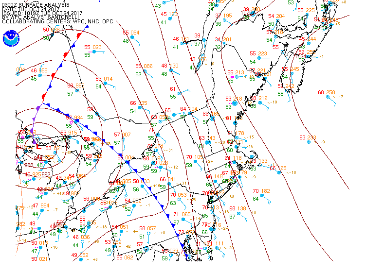
Scattered areas of rain this morning will give way to more widespread precipitation developing from west to east this afternoon & evening. There will be embedded heavy downpours and the chance for a thunderstorm. South to southeast wind at 15-25 mph will gust to 35 mph and the potential for damaging wind gusts in excess of 50 mph exists where downpours and t-storms occur. Areas that are exposed to these higher gusts could experience power outages due to downed trees or branches (with most of the leaves still on the trees there is more force exerted on the trees compared to after the leaves have dropped). I wouldn't be surprise to see the NWS issue a severe t-storm warning for a few cells later today into tonight. There is a fair amount of wind shear aloft today so while the probability is LOW, the chance of something tornadic forming is not 0. I expect the rain & wind to taper off from west to east during the predawn hours of Wednesday morning. Typically, that would be it and we would look for some clearing to follow, however a low pressure system moving up the front will try to throw some additional showers and areas of rain back into the region during Wednesday. We will be near the back edge of the significant rain Wednesday so the further east you go, the higher the chance you will get it. A slight shift by the front to the east or west Wednesday would mean the difference between no rain and a pretty wet day. Highs will be in the 60's. Looks like rainfall amounts of 1"-3" between today & Wednesday, with the potential for locally higher amounts. There will be some lingering showers at times Wednesday night & Thursday until the upper level trough lifts north of us. High pressure builds in Friday & Saturday with sunshine & temps in the 60's. Another stormy period is setting up for late Sunday into Monday.


