
Stacking Up
- Bob Cox
- Nov 27, 2018
- 2 min read
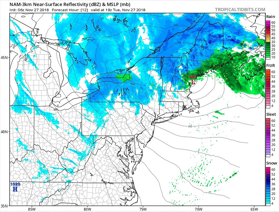
Above: Hi-resolution NAM forecast surface pressure & precipitation at 1 PM today.

Above: NAM 500 millibar (mid-level) forecast for 1 PM Today.
The low pressure system that dropped more than an inch of rain across much of the area will track northward into Maine and become "stacked" under the mid-level low that is moving over northern New England. When this happens, the surfaces low more or less stalls, or circles in the same general area. This will keep us in a cyclonic flow during the next few days. The result will be clouds, mixing at times with breaks of sun, and breezy to windy conditions. Wind from the west today, increasing to 10-20 mph, with some higher gusts. Wind Wednesday from the northwest at 12-25 mph, with some gusts to 40 mph. Although it will be dry most of the time, some of us will experience a scattered rain or snow shower today and Wednesday. There will be more numerous snow showers today & tomorrow across the hilly terrain of western CT and the Berkshires due to orographic effects of the west wind being lifted upward. Some of these areas will probably see enough snow to re-coat the ground from time to time. As the low pressure moves a little farther away Thursday, we should see a higher percentage of sunshine. Most of the area will have highs in the 40's and lows near 30 during the next few days. Looking a bit farther down the road, there is the chance for some rain/snow showers Friday night into early Saturday. Next significant rain is scheduled for late Saturday or Saturday evening, tapering off by early Sunday morning (similar to last weekend).
Here are some rainfall & snowfall reports from yesterday/last night:


Comments