
Snow Update
Mostly cloudy this afternoon. Some places will see a few breaks in the clouds. A little light snow and flurries at times from western...


Next Snow: Tuesday-Wednesday
Map above shows SREF surface pressure & 3-hour precipitation for 7 AM Wednesday. The larger box in the top-center is the mean of the...

36 Hour Forecast: 50 Degree Temperature Drop!
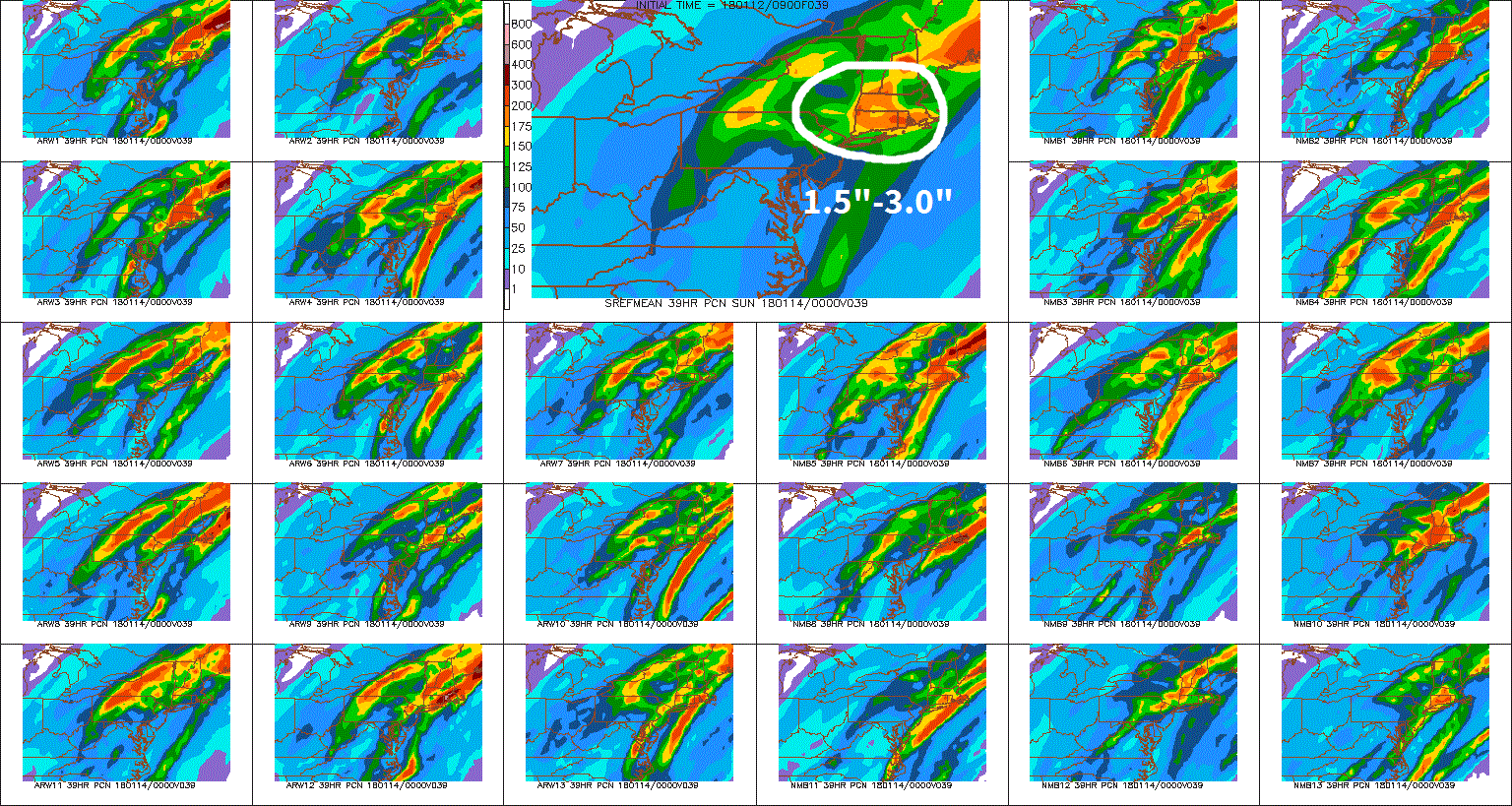
The larger image above is the mean of the individual SREF ensemble members. Click to enlarge. Periods of rain will continue this...

Update On The Storm
(Click To Enlarge Image). Radar imagery and surface reports so far have not been confirming the idea of the hi-res, short-term models...


A Closer Look At Today's Snow Totals
(Click To Enlarge Image). The NWS has upgraded New Haven, Middlesex & New London Counties to a Blizzard Warning. Many places outside of...


Nor'easter Update
(Click To Enlarge Image). The track of today's nor'easter has steadily trended further west during the past 2-3 days. As a result, I...


