
High & Dry
Weather highlights next several days:
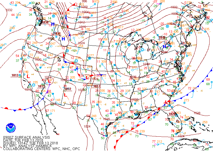
Strong high pressure moving over New England today gives us lots of sun & highs in the 30's. The breeze should diminish by this afternoon.
As the high moves offshore tonight & Wednesday, winds become southwesterly. Clouds increase tonight & lows hold in the 20's. Partly sunny Valentine's Day with highs in the 40's.
There is the chance for a shower or two Wednesday night, but I'd say a 50% chance of staying dry. If showers do materialize, there could be a freezing rain shower inland. Lows will be in the 30's.
Clouds will mix with sun Thursday and it will turn even milder. Highs into the 50's. With enough sun, some places could touch 60!
Showers/some rain likely Thursday night, ending by early Friday.
Cold front passes through early Friday. Early morning highs in the 50's, but falling temps during the day, with a gusty northwest wind developing.
Dry & cold Saturday. Highs in the 30's.
The only chance for snow during the next 5 days is Saturday night and at this time it is still just a chance.
A clearing trend develops Sunday with highs into the 40's.
It looks like temperatures will be above average most of the time through the remainder of February. There will be a few brief cold shots in-between the higher-than-average temperatures.


